
Location
Agent Comments
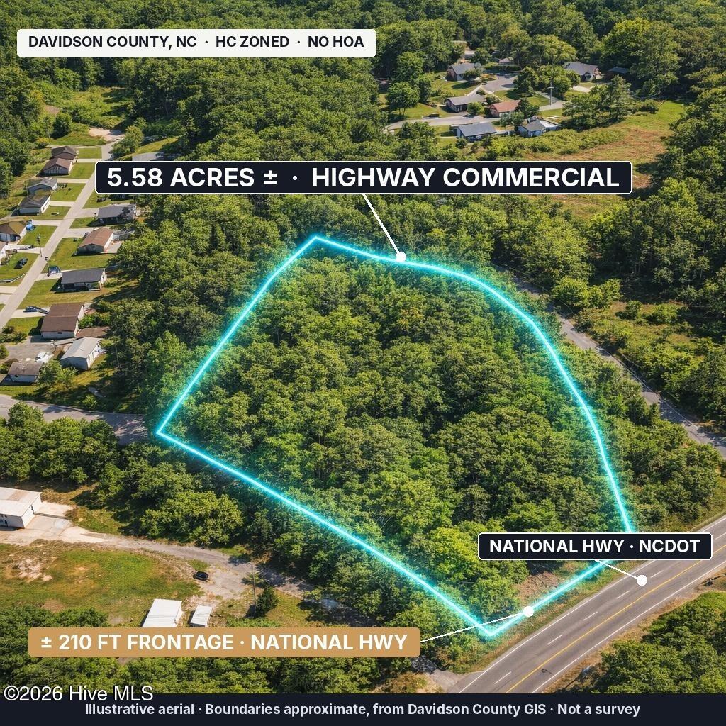
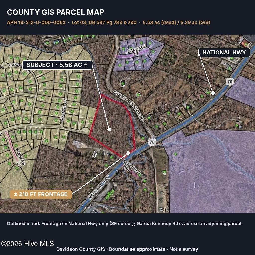
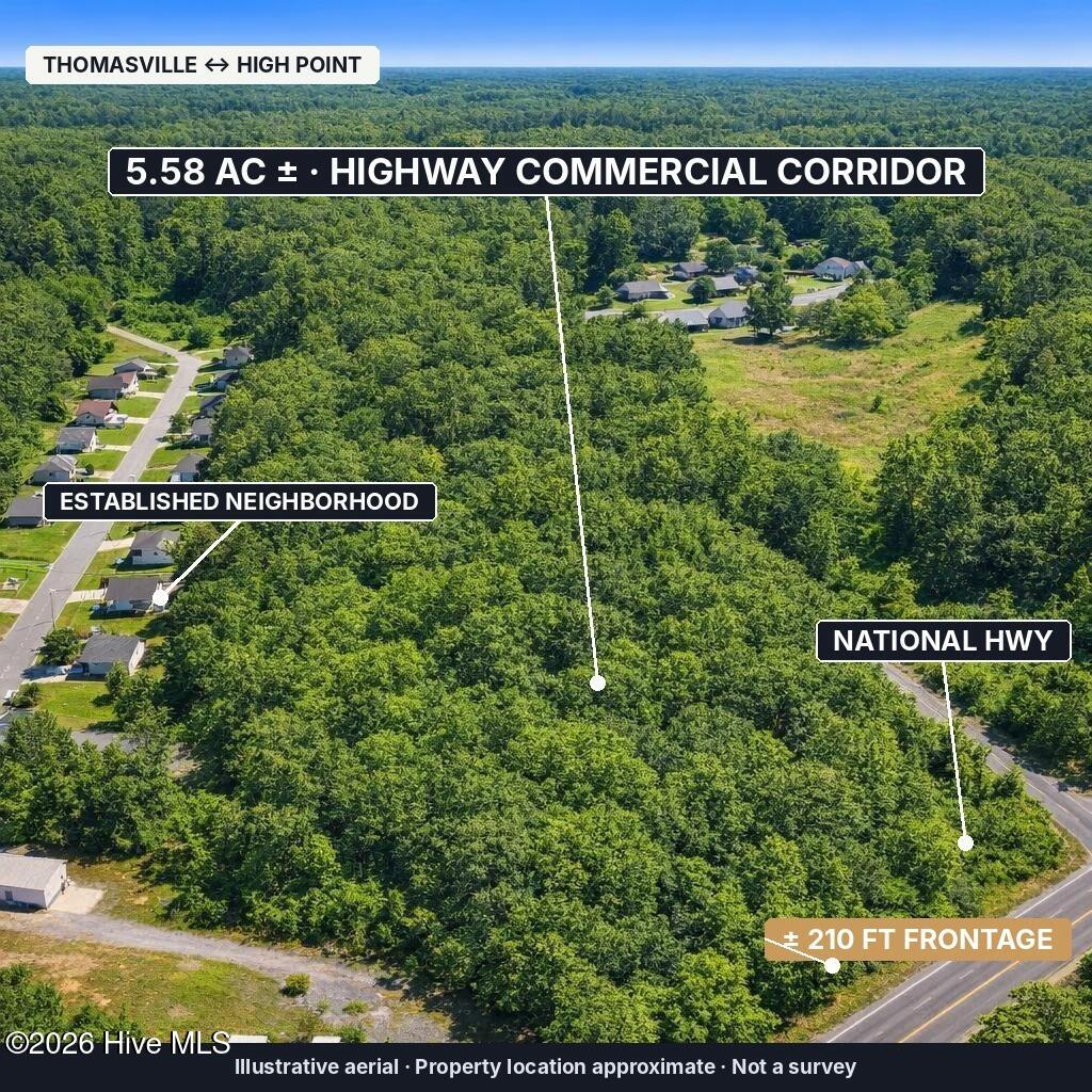
5.58 wooded acres zoned HC (Highway Commercial), confirmed with Davidson County Planning, on National Hwy between Thomasville and High Point. About 210 ft of road frontage per GIS on National Hwy, a state-maintained NCDOT road. Public water (Davidson Water), buyer sets up new meter; Duke Energy electric with poles near the frontage. No public sewer; septic required, soil/perc evaluation not yet done. Buyer applies for NCDOT driveway permit. Permanent highway drainage easement on the deed. Rolling terrain, average slope about 17%. About 6% mapped flood zone, 2% mapped wetlands. Commercial use only; residential not permitted per county. No HOA, outside city limits, no structures. 2025 assessed value $428,880; taxes about $2,788/yr. 5.58 ac per deed/tax, 5.29 ac per GIS; no survey. Buyer to verify all information.
Additional Features
- County: Davidson
- Days on Market: 1
- Pool: No
- Water/Sewer: Water Available, Electricity Available
- Property Type: Land
- Property Sub Type: Undeveloped
Financial
- Short Sale: Seller not Owner
Interior Features
- Basement Description: None
Exterior Features
- Fuel Tanks: None
- Utilities: Water Available,Electricity Available
Location
- Street Number: 0
- County: Davidson
- Latitude: 35.926756
- Longitude: -80.055188
- Subdivision: Not In Subdivision
Listed by: Elijah King from Coldwell Banker Preferred Properties.